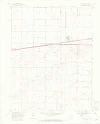
1969 Map of Kanorado
USGS Topo · Published 1972About this map
Kanorado stands at the intersection of the High Plains and the Colorado-Kansas State Line, serving as a vital transportation and agricultural hub in the late 1960s. The landscape is defined by the Chicago Rock Island and Pacific railroad and the modern corridor of Highway 70, which cut across the prairie alongside the winding paths of Middle Beaver Creek and South Beaver Creek. Local industry is clearly visible through numerous Well sites and the prominent Grain Bins located near the rail line, reflecting the area's deep ties to grain production and resource extraction. Evidence of local excavation is marked by several Gravel Pits scattered near the watercourses, while the boundary between Kit Carson County and Sherman County anchors the western edge of this borderland survey.
Find a feature on this map
12 named features on this map. Tap any name to fly to it.
Don’t see what you’re looking for? This feature index may not catch every label — zoom into the map to look around manually.
Map Details
Editions of this 1969 Kanorado Map
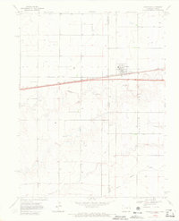
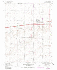
3 editions found
Other maps of this area

1954 · Limon
USGS Topo · 1:250,000

1954 · Goodland
USGS Topo · 1:250,000

1956 · Goodland
USGS Topo · 1:250,000

1957 · Limon
USGS Topo · 1:250,000

1957 · Goodland
USGS Topo · 1:250,000

1958 · Limon
USGS Topo · 1:250,000

1959 · Horsethief Draw
USGS Topo · 1:62,500

1966 · Ruleton NW
USGS Topo · 1:24,000

1966 · Ruleton
USGS Topo · 1:24,000

1969 · Kanorado NE
USGS Topo · 1:24,000