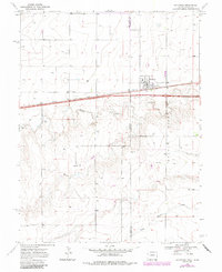
1969 Map of Kanorado
USGS Topo · Published 1985About this map
Kanorado stands as a vital rail-side hub on the High Plains, situated directly on the State Line where Kansas meets Colorado. This landscape, surveyed in the late 1960s, is defined by the east-west corridor of the Chicago Rock Island and Pacific railroad, which parallels the highway and anchors the local economy. Large Grain Bins near the tracks and a local Park reflect the organized development of this agricultural community.
Find a feature on this map
17 named features on this map. Tap any name to fly to it.
Don’t see what you’re looking for? This feature index may not catch every label — zoom into the map to look around manually.
Map Details
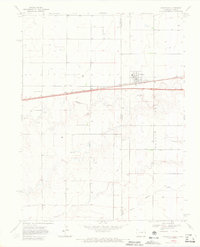
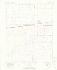
Editions of this 1969 Kanorado Map
3 editions found
Other maps of this area

1954 · Limon
USGS Topo · 1:250,000

1954 · Goodland
USGS Topo · 1:250,000

1956 · Goodland
USGS Topo · 1:250,000

1957 · Limon
USGS Topo · 1:250,000

1957 · Goodland
USGS Topo · 1:250,000

1958 · Limon
USGS Topo · 1:250,000

1959 · Horsethief Draw
USGS Topo · 1:62,500

1966 · Ruleton NW
USGS Topo · 1:24,000

1966 · Ruleton
USGS Topo · 1:24,000

1969 · Kanorado NE
USGS Topo · 1:24,000