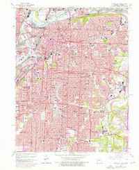
1964 Map of Kansas City
USGS Topo · Published 1976About this map
Kansas City and its surrounding communities are documented here during a period of significant mid-century infrastructure expansion. The urban core is anchored by monumental landmarks like Union Station and the Liberty Memorial, while the Missouri River and Kansas River waterfronts show the dense concentration of rail lines including the Kansas City Southern and Santa Fe. The map reveals the city's northward reach across the Broadway Bridge to Harlem and the Municipal Airport.
Find a feature on this map
94 named features on this map. Tap any name to fly to it.
Don’t see what you’re looking for? This feature index may not catch every label — zoom into the map to look around manually.
Map Details
Editions of this 1964 Kansas City Map
3 editions found
Other maps of this area

1887 · Harrisonville
USGS Topo · 1:125,000

1887 · Olathe
USGS Topo · 1:125,000

1890 · Kansas City
USGS Topo · 1:125,000

1892 · Harrisonville
USGS Topo · 1:125,000

1893 · Olathe
USGS Topo · 1:125,000

1894 · Kansas City
USGS Topo · 1:125,000

1894 · Harrisonville
USGS Topo · 1:125,000

1894 · Independence
USGS Topo · 1:125,000

1934 · Independence
USGS Topo · 1:24,000

1934 · Grandview
USGS Topo · 1:24,000