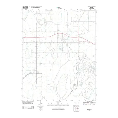
2010 Map of Kansas
USGS Topo · Published 2010About this map
Kansas serves as a central hub in this Delaware County landscape, where the intersection of Delaware St and Cherokee St marks the town's local geometry. The map details a transition from the structured street grids of Oaks and Twin Oaks to the more winding, rural paths such as Black Fox Hollow Rd and Big Bear Rd. Water is a defining element for the region, with the Illinois River cutting through the southeast corner and Spring Creek meandering westward past the Oaks Cemetery. Notable for local history and infrastructure are the various impoundments like Clear Creek Lake, held by Clear Creek Dam, and Deer Lake. The presença of the Cookson Hills Christian School Airport indicates the specialized land use in this part of northeastern Oklahoma, while the small settlement of Russell stands as a quiet landmark amidst the network of county roads.
Find a feature on this map
55 named features on this map. Tap any name to fly to it.
Don’t see what you’re looking for? This feature index may not catch every label — zoom into the map to look around manually.
Map Details
Editions of this 2010 Kansas Map
This is the sole edition of this map. No revisions or reprints were ever made.
Other maps of this area

1899 · Siloam Springs
USGS Topo · 1:125,000

1903 · Siloam Springs
USGS Topo · 1:125,000

1904 · Siloam Springs
USGS Topo · 1:125,000

1954 · Tulsa
USGS Topo · 1:250,000

1958 · Tulsa
USGS Topo · 1:250,000

1963 · Tulsa
USGS Topo · 1:250,000

1971 · Kenwood
USGS Topo · 1:24,000

1971 · Jay SE
USGS Topo · 1:24,000
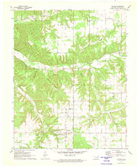
1971 · Colcord
USGS Topo · 1:24,000
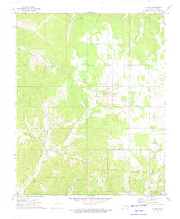
1972 · Chance
USGS Topo · 1:24,000