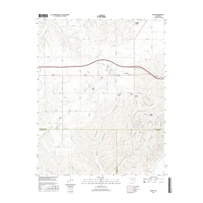
2016 Map of Kansas
USGS Topo · Published 2016About this map
The town of Kansas serves as the central hub of this eastern Oklahoma landscape, situated where the high plateaus begin to break into the complex drainages of the Ozark foothills. This 2016 survey documents the rural character of Delaware County and its neighbors, defined by a network of sectional roads and the narrow valleys of Spring Cr and the Illinois River. Local heritage is anchored by a cluster of rural burying grounds, including Kansas Cem and Long Prairie Cem, which reflect generations of family settlement. To the south, the terrain becomes increasingly dissected near Oaks and Twin Oaks, where numerous hollows such as Black Fox Hollow and Winset Hollow carve through the limestone-rich uplands. The presence of Black Fox Springs and Lost Spring highlights the importance of groundwater in this karst-influenced geography, while the small impoundments of Deer Lake and Clear Cr Lake mark modern residential developments in the Flint Creek area.
Find a feature on this map
115 named features on this map. Tap any name to fly to it.
Don’t see what you’re looking for? This feature index may not catch every label — zoom into the map to look around manually.
Map Details
Editions of this 2016 Kansas Map
This is the sole edition of this map. No revisions or reprints were ever made.
Other maps of this area

1899 · Siloam Springs
USGS Topo · 1:125,000

1903 · Siloam Springs
USGS Topo · 1:125,000

1904 · Siloam Springs
USGS Topo · 1:125,000

1954 · Tulsa
USGS Topo · 1:250,000

1958 · Tulsa
USGS Topo · 1:250,000

1963 · Tulsa
USGS Topo · 1:250,000

1971 · Kenwood
USGS Topo · 1:24,000

1971 · Jay SE
USGS Topo · 1:24,000
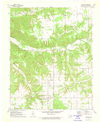
1971 · Colcord
USGS Topo · 1:24,000
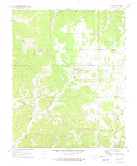
1972 · Chance
USGS Topo · 1:24,000