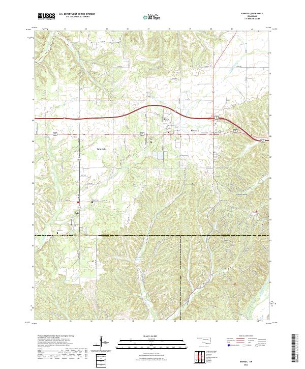
2022 Map of Kansas
USGS Topo · Published 2022About this map
Kansas anchors this eastern Oklahoma landscape at the junction of Delaware, Cherokee, and Adair counties. The terrain is defined by a series of deep hollows, including Black Fox Hollow and Fivemile Hollow, which feed into local water systems like the Illinois River in the southeast. This survey captures a rural network of small communities and family burial grounds, such as Twin Oaks and Oaks, alongside historical resting places like Long Prairie Cem and Russell Cem.
Find a feature on this map
75 named features on this map. Tap any name to fly to it.
Don’t see what you’re looking for? This feature index may not catch every label — zoom into the map to look around manually.
Map Details
Editions of this 2022 Kansas Map
This is the sole edition of this map. No revisions or reprints were ever made.
Other maps of this area

1899 · Siloam Springs
USGS Topo · 1:125,000

1903 · Siloam Springs
USGS Topo · 1:125,000

1904 · Siloam Springs
USGS Topo · 1:125,000

1954 · Tulsa
USGS Topo · 1:250,000

1958 · Tulsa
USGS Topo · 1:250,000

1963 · Tulsa
USGS Topo · 1:250,000

1971 · Kenwood
USGS Topo · 1:24,000

1971 · Jay SE
USGS Topo · 1:24,000
1971 · Colcord
USGS Topo · 1:24,000
1972 · Chance
USGS Topo · 1:24,000