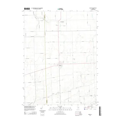
2015 Map of Kansas
USGS Topo · Published 2015About this map
Kansas and the surrounding farmland of Edgar County and Coles County are defined by a grid of rural roads and the slow winding of the N-Fork Embarras River. This 2015 study provides a high-resolution look at the agricultural heartland, where many small family-named cemeteries are the primary landmarks. Genealogists and local historians will find value in the precise locations of the Shields Cem on the northern border, Harmony Cem near Warrington, and several others such as Waite Cem, Cornwell Cem, and Wilhoit Cem scattered across the township. The landscape is primarily shaped by the drainage patterns of several creeks, including E Donica Cr, W Donica Cr, and Polecat Cr, which cut through the rectilinear sections of the prairie and influence the path of local thoroughfares like E Charleston Rd.
Find a feature on this map
59 named features on this map. Tap any name to fly to it.
Don’t see what you’re looking for? This feature index may not catch every label — zoom into the map to look around manually.
Map Details
Editions of this 2015 Kansas Map
This is the sole edition of this map. No revisions or reprints were ever made.
Other maps of this area

1933 · Toledo
USGS Topo · 1:62,500

1936 · Oakland
USGS Topo · 1:48,000

1936 · Casey
USGS Topo · 1:48,000

1938 · Toledo
USGS Topo · 1:62,500

1942 · Oakland
USGS Topo · 1:62,500

1942 · Casey
USGS Topo · 1:62,500

1943 · Casey
USGS Topo · 1:62,500

1946 · Kansas
USGS Topo · 1:62,500

1949 · Kansas
USGS Topo · 1:62,500

1953 · Indianapolis
USGS Topo · 1:250,000