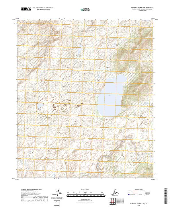
2024 Map of Kantishna River B-2 NW
USGS Topo · Published 2024About this map
West Twin Lake dominates the central landscape of this interior Alaska wilderness, serving as a primary hydrologic landmark within the Yukon-Koyukuk region. This topographic study, produced with data reaching back to 1978, illustrates a landscape defined by expansive wetlands and a complex network of seasonal drainages, including the meandering path of Dry Creek to the east. The terrain is characterized by subtle elevation shifts and dense marshlands, typical of the subarctic river basins where water bodies often lack defined inlets or outlets. Surveyed boundaries for t5s r17w, t5s r16w, t6s r17w, and t6s r16w provide the primary structural framework for this remote territory, which remains largely devoid of human-made infrastructure or road networks.
Find a feature on this map
6 named features on this map. Tap any name to fly to it.
Don’t see what you’re looking for? This feature index may not catch every label — zoom into the map to look around manually.
Map Details
Editions of this 2024 Kantishna River B-2 NW Map
This is the sole edition of this map. No revisions or reprints were ever made.
Other maps of this area

1948 · Kantishna River
USGS Topo · 1:250,000

1951 · Kantishna River
USGS Topo · 1:250,000

1952 · Kantishna River
USGS Topo · 1:250,000

1952 · Kantishna River C-3
USGS Topo · 1:63,360

1953 · Kantishna River B-2
USGS Topo · 1:63,360

1953 · Kantishna River B-3
USGS Topo · 1:63,360
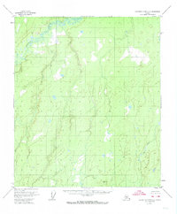
1953 · Kantishna River C-2
USGS Topo · 1:63,360
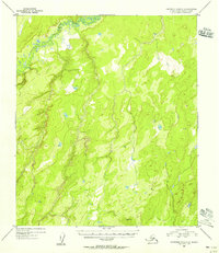
1954 · Kantishna River C-2
USGS Topo · 1:63,360
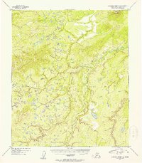
1954 · Kantishna River C-3
USGS Topo · 1:63,360

1964 · Kantishna River
USGS Topo · 1:250,000