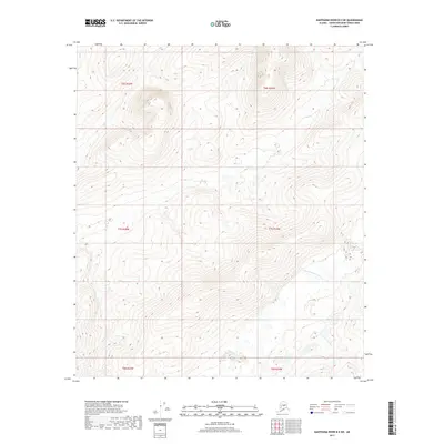
2017 Map of Kantishna River B-5 SW
USGS Topo · Published 2017About this map
The N Fork Kuskokwim River winds through the southeastern corner of this landscape, marking a significant hydrologic feature in the Yukon-Koyukuk Census Area. This 2017 survey documents a topography characterized by significant elevation changes, with numerous peaks and ridges defined by a tight network of contour lines. The absence of roads, buildings, or named settlements highlights the wilderness character of this region within the t7s r24w and t7s r25w townships. The land is primarily defined by its drainage patterns and the complex terrain rising away from the river valley, offering a specialized look at the interior Alaskan backcountry before any modern infrastructure footprint arrived in this specific sector.
Find a feature on this map
7 named features on this map. Tap any name to fly to it.
Don’t see what you’re looking for? This feature index may not catch every label — zoom into the map to look around manually.
Map Details
Editions of this 2017 Kantishna River B-5 SW Map
This is the sole edition of this map. No revisions or reprints were ever made.
Other maps of this area

1948 · Kantishna River
USGS Topo · 1:250,000

1951 · Kantishna River
USGS Topo · 1:250,000

1952 · Kantishna River
USGS Topo · 1:250,000

1952 · Kantishna River B-6
USGS Topo · 1:63,360

1952 · Kantishna River A-5
USGS Topo · 1:63,360

1952 · Kantishna River A-6
USGS Topo · 1:63,360

1952 · Kantishna River B-5
USGS Topo · 1:63,360
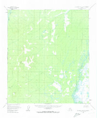
1953 · Kantishna River A-6
USGS Topo · 1:63,360

1964 · Kantishna River
USGS Topo · 1:250,000
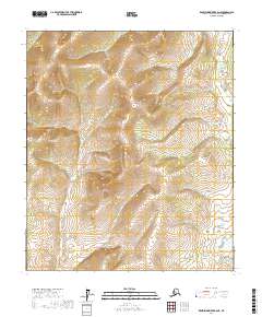
2017 · Kantishna River B-6 NE
USGS Topo · 1:25,000