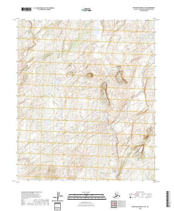
2024 Map of Kantishna River C-2 SE
USGS Topo · Published 2024About this map
Dry Creek winds through this expanse of the Yukon-Koyukuk region, defining a landscape marked by complex drainage patterns and low-lying wetlands. The terrain is structured by the Public Land Survey System, with boundaries like t3s r16w, t4s r15w, and t5s r16w providing the primary geographical framework for this interior Alaskan wilderness. As part of the Kantishna River C-2 SE quadrangle, the map illustrates a remote environment where water and elevation contours are the dominant features, reflecting the natural character of the state’s interior far from established road networks or permanent settlements.
Find a feature on this map
7 named features on this map. Tap any name to fly to it.
Don’t see what you’re looking for? This feature index may not catch every label — zoom into the map to look around manually.
Map Details
Editions of this 2024 Kantishna River C-2 SE Map
This is the sole edition of this map. No revisions or reprints were ever made.
Other maps of this area

1948 · Kantishna River
USGS Topo · 1:250,000

1951 · Kantishna River
USGS Topo · 1:250,000

1952 · Kantishna River C-1
USGS Topo · 1:63,360

1952 · Kantishna River
USGS Topo · 1:250,000

1952 · Kantishna River B-1
USGS Topo · 1:63,360

1953 · Kantishna River B-2
USGS Topo · 1:63,360
1953 · Kantishna River C-2
USGS Topo · 1:63,360
1954 · Kantishna River C-2
USGS Topo · 1:63,360

1964 · Kantishna River
USGS Topo · 1:250,000
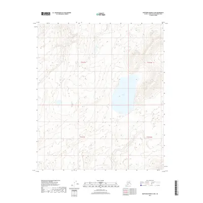
2017 · Kantishna River B-2 NW
USGS Topo · 1:25,000