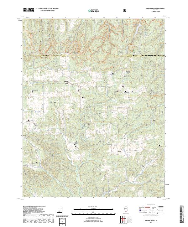
2024 Map of Karbers Ridge
USGS Topo · Published 2024About this map
The southern portion of the Illinois Ozarks is defined by the dramatic geology of the Shawnee National Forest, where the Pounds Escarpment and High Knob rise above the surrounding terrain. This landscape is shaped by the Illinois Basin's geological history, most notably at Hicks Dome, an eroded structural uplift in the southwest. Small rural communities like Karbers Ridge, Sparks Hill, and Hicks serve as the primary nodes of settlement amidst a dense network of wooded hollows and creek systems.
Find a feature on this map
62 named features on this map. Tap any name to fly to it.
Don’t see what you’re looking for? This feature index may not catch every label — zoom into the map to look around manually.
Map Details
Editions of this 2024 Karbers Ridge Map
This is the sole edition of this map. No revisions or reprints were ever made.
Other maps of this area

1916 · Shawneetown
USGS Topo · 1:62,500

1916 · Fords Ferry
USGS Topo · 1:62,500

1916 · Golconda
USGS Topo · 1:62,500

1916 · Equality
USGS Topo · 1:62,500

1920 · Goloonda
USGS Topo · 1:48,000

1921 · Fords Ferry
USGS Topo · 1:48,000

1921 · Golconda
USGS Topo · 1:62,500

1925 · Cave In Rock
USGS Topo · 1:62,500

1949 · Paducah
USGS Topo · 1:250,000

1950 · Paducah
USGS Topo · 1:250,000