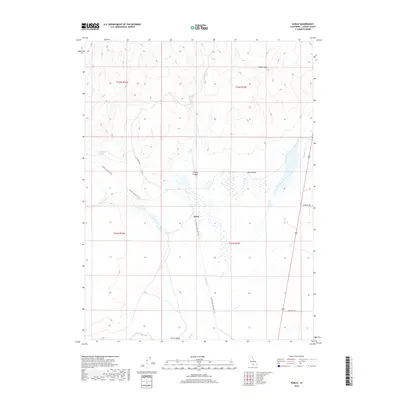
2018 Map of Karlo
USGS Topo · Published 2018About this map
Karlo sits at a crossroads of high-desert canyons and historic transport routes in this Lassen County survey. The landscape is defined by the remnants of the rail-to-trail conversion, with the Modoc Line Rail Trail and its lower segments like the LLTT Modoc Line Rail Trail tracing a path through the arid terrain. The water sources here, while sparse, are critical landmarks, including Vincent Spring and Railroad Spring, which hint at the logistical requirements of early transit through the Great Basin edge.
Find a feature on this map
19 named features on this map. Tap any name to fly to it.
Don’t see what you’re looking for? This feature index may not catch every label — zoom into the map to look around manually.
Map Details
Editions of this 2018 Karlo Map
This is the sole edition of this map. No revisions or reprints were ever made.
Other maps of this area

1886 · Honey Lake
USGS Topo · 1:250,000

1891 · Honey Lake
USGS Topo · 1:250,000

1893 · Honey Lake
USGS Topo · 1:250,000

1954 · Wendel
USGS Topo · 1:62,500

1954 · Litchfield
USGS Topo · 1:62,500

1954 · Karlo
USGS Topo · 1:62,500

1954 · Shinn Mountain
USGS Topo · 1:62,500

1955 · Westwood
USGS Topo · 1:250,000

1958 · Westwood
USGS Topo · 1:250,000

1959 · Westwood
USGS Topo · 1:250,000