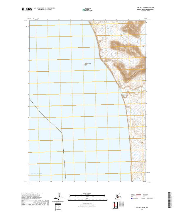
2021 Map of Karluk A-2 NW
USGS Topo · Published 2021About this map
Ayakulik River flows through a landscape defined by expansive coastal wetlands and the influence of the Gulf of Alaska. This 2021 survey of southwestern Kodiak Island shows a coastline where the river meets the sea near Ayakulik Island, a small landform positioned just offshore. The terrain transitions from these low-lying marshlands to the distinct elevation of Oval Mtn, which rises to the east. The map illustrates the region's characteristic lack of developed roads, reflecting the preservation of its natural hydrology and the dominance of the river system as the primary geographic feature of the area.
Find a feature on this map
7 named features on this map. Tap any name to fly to it.
Don’t see what you’re looking for? This feature index may not catch every label — zoom into the map to look around manually.
Map Details
Editions of this 2021 Karluk A-2 NW Map
This is the sole edition of this map. No revisions or reprints were ever made.
Other maps of this area

1951 · Karluk
USGS Topo · 1:250,000

1952 · Karluk
USGS Topo · 1:250,000

1952 · Karluk B-2
USGS Topo · 1:63,360
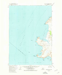
1952 · Karluk B-3
USGS Topo · 1:63,360

1952 · Karluk A-2
USGS Topo · 1:63,360
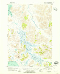
1954 · Karluk B-2
USGS Topo · 1:63,360
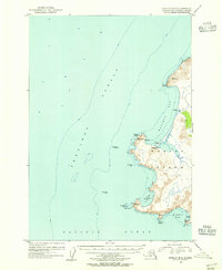
1954 · Karluk B-3
USGS Topo · 1:63,360
1954 · Karluk A-2
USGS Topo · 1:63,360

1964 · Karluk
USGS Topo · 1:250,000
2021 · Karluk A-2 SW
USGS Topo · 1:25,000