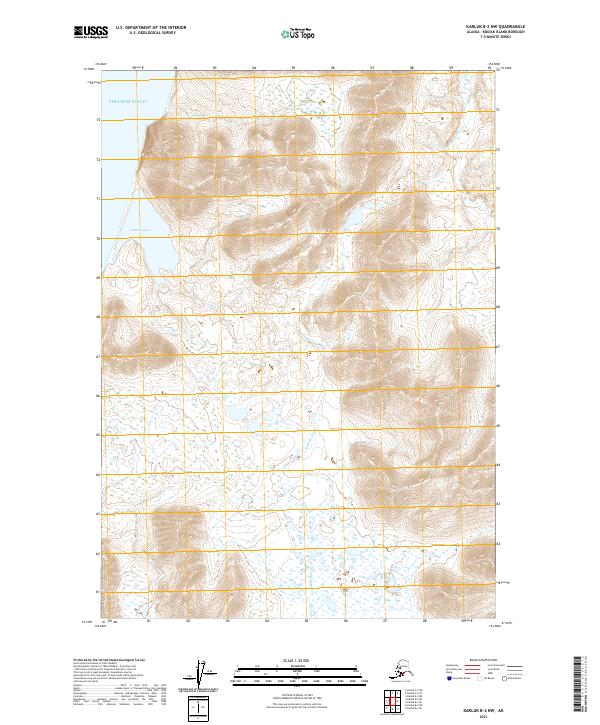
2021 Map of Karluk B-2 NW
USGS Topo · Published 2021About this map
Shelikof Strait defines the northwestern coastline of this Kodiak Island landscape, where the tides meet the mouths of significant coastal drainages. The Ayakulik River and Sturgeon River wind through the interior, carving through the high coastal ridges and plateaus that dominate the southwestern Alaskan terrain. Near the shore, Grant Lagoon serves as a protected coastal feature, suggesting the complex transition between freshwater runoff and the salt waters of the strait. The absence of roads or permanent settlements in this 2021 topographic record highlights the wilderness character of the island, where the land is defined solely by its watershed patterns and the reach of the Pacific.
Find a feature on this map
8 named features on this map. Tap any name to fly to it.
Don’t see what you’re looking for? This feature index may not catch every label — zoom into the map to look around manually.
Map Details
Editions of this 2021 Karluk B-2 NW Map
This is the sole edition of this map. No revisions or reprints were ever made.
Other maps of this area

1951 · Karluk
USGS Topo · 1:250,000

1952 · Karluk
USGS Topo · 1:250,000

1952 · Karluk C-2
USGS Topo · 1:63,360

1952 · Karluk B-2
USGS Topo · 1:63,360
1952 · Karluk B-3
USGS Topo · 1:63,360
1954 · Karluk B-2
USGS Topo · 1:63,360
1954 · Karluk B-3
USGS Topo · 1:63,360
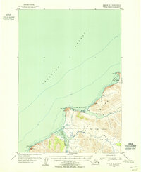
1954 · Karluk C-2
USGS Topo · 1:63,360

1964 · Karluk
USGS Topo · 1:250,000
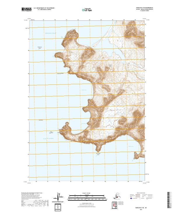
2021 · Karluk B-3 SE
USGS Topo · 1:25,000