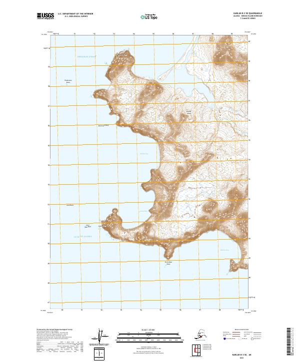
2021 Map of Karluk B-3 SE
USGS Topo · Published 2021About this map
Cape Ikolik and Middle Cape define the western shoreline of Kodiak Island in this coastal survey, where the terrestrial landscape meets the volatile waters of the Gulf of Alaska and Shelikof Strait. The map documents a sequence of protected inlets including Middle Bay, Gurney Bay, and Bumble Bay, separated by sharp coastal headlands. Maritime hazards are clearly identified through a series of offshore features such as Mushroom Reef, Seal Rocks, and the distinctively named Tombstone Rocks. The topography is dominated by steep coastal ridges that rise abruptly from the sea, creating a complex interface of rocky outcroppings like Inner Seal Rock and Little Bear Rock. This cartographic record provides a precise view of the island's uninhabited southwestern coast, focusing on the natural geography and navigation landmarks that have guided mariners around these points for generations.
Find a feature on this map
17 named features on this map. Tap any name to fly to it.
Don’t see what you’re looking for? This feature index may not catch every label — zoom into the map to look around manually.
Map Details
Editions of this 2021 Karluk B-3 SE Map
This is the sole edition of this map. No revisions or reprints were ever made.
Other maps of this area

1951 · Karluk
USGS Topo · 1:250,000

1952 · Karluk
USGS Topo · 1:250,000

1952 · Karluk B-2
USGS Topo · 1:63,360
1952 · Karluk B-3
USGS Topo · 1:63,360

1952 · Karluk A-2
USGS Topo · 1:63,360
1954 · Karluk B-2
USGS Topo · 1:63,360
1954 · Karluk B-3
USGS Topo · 1:63,360
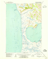
1954 · Karluk A-2
USGS Topo · 1:63,360

1964 · Karluk
USGS Topo · 1:250,000
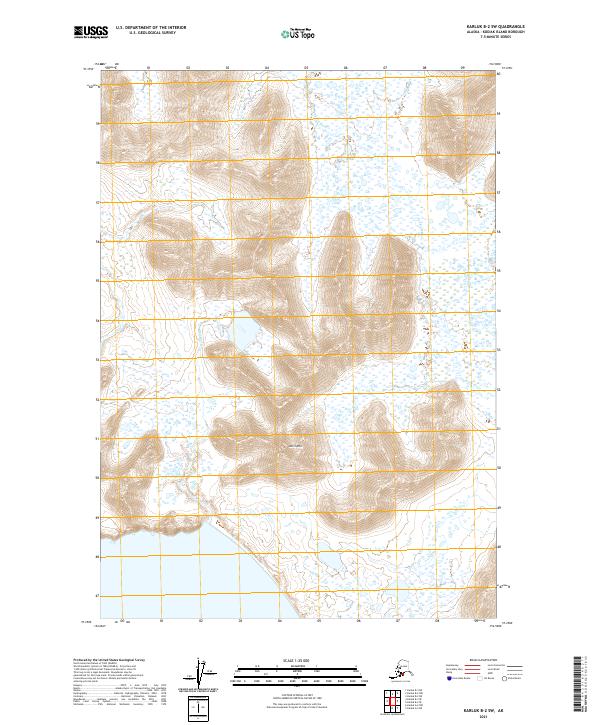
2021 · Karluk B-2 SW
USGS Topo · 1:25,000