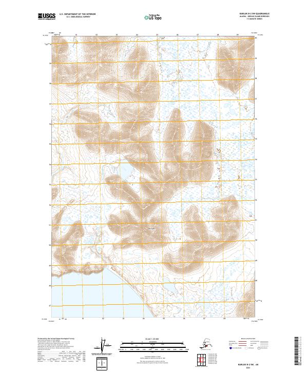
2021 Map of Karluk B-2 SW
USGS Topo · Published 2021About this map
Anvil Mtn dominates the central landscape of this western Kodiak Island region, serving as a high-elevation landmark between two distinct drainage systems. To the south and west, the Red River cuts a path toward the coast, while the northern and eastern portions of the quadrangle are defined by the broad, braided course of the Ayakulik River. This 2021 survey illustrates a wilderness defined by its hydrology and topographic relief, with no established roads or settlements reaching this part of the island. The map details the complex network of wetlands and seasonal watercourses that surround the primary river basins, providing a precise record of the island's natural drainage patterns and the isolated peaks that guide them.
Find a feature on this map
9 named features on this map. Tap any name to fly to it.
Don’t see what you’re looking for? This feature index may not catch every label — zoom into the map to look around manually.
Map Details
Editions of this 2021 Karluk B-2 SW Map
This is the sole edition of this map. No revisions or reprints were ever made.
Other maps of this area

1951 · Karluk
USGS Topo · 1:250,000

1952 · Karluk
USGS Topo · 1:250,000

1952 · Karluk B-2
USGS Topo · 1:63,360
1952 · Karluk B-3
USGS Topo · 1:63,360

1952 · Karluk A-2
USGS Topo · 1:63,360
1954 · Karluk B-2
USGS Topo · 1:63,360
1954 · Karluk B-3
USGS Topo · 1:63,360
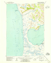
1954 · Karluk A-2
USGS Topo · 1:63,360

1964 · Karluk
USGS Topo · 1:250,000
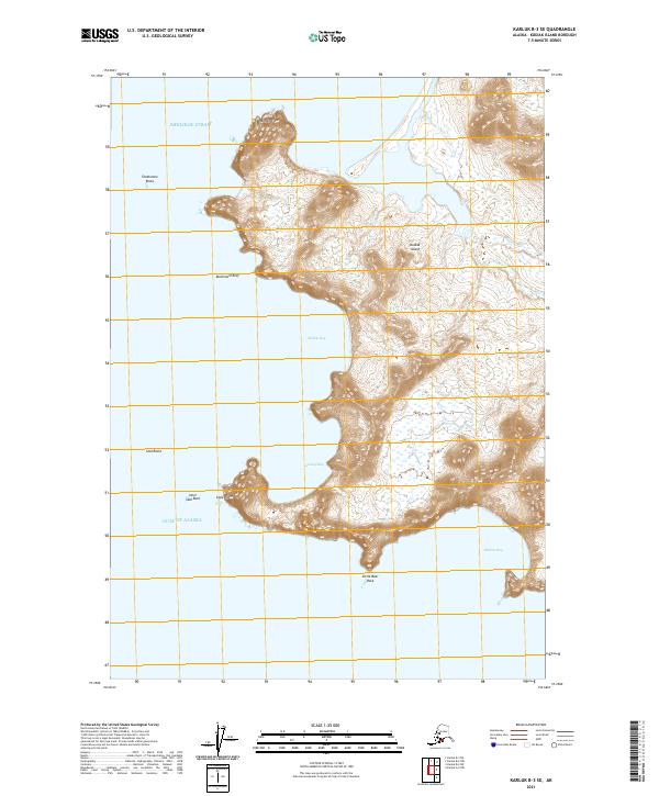
2021 · Karluk B-3 SE
USGS Topo · 1:25,000