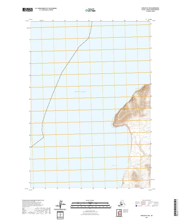
2021 Map of Karluk B-3 NE
USGS Topo · Published 2021About this map
Shelikof Strait dominates the maritime character of this shoreline on Kodiak Island. The coastal geography is defined by the sharp protrusion of Cape Grant, which creates a prominent landmark along the western edge of the island. To the south, the waters of Halibut Bay offer a sheltered coastal feature, contrasting with the open expanse of the strait. This 2021 update by the U.S. Geological Survey documents the interface between the coastal waters and the high, steep terrain of the island’s interior, reflecting a landscape that remains largely defined by its natural topography rather than human settlement. The grid boundaries of t31s r34w and t32s r34w provide the primary framework for local land survey records in this undeveloped area.
Find a feature on this map
5 named features on this map. Tap any name to fly to it.
Don’t see what you’re looking for? This feature index may not catch every label — zoom into the map to look around manually.
Map Details
Editions of this 2021 Karluk B-3 NE Map
This is the sole edition of this map. No revisions or reprints were ever made.
Other maps of this area

1951 · Karluk
USGS Topo · 1:250,000

1952 · Karluk
USGS Topo · 1:250,000

1952 · Karluk C-2
USGS Topo · 1:63,360

1952 · Karluk B-2
USGS Topo · 1:63,360
1952 · Karluk B-3
USGS Topo · 1:63,360
1954 · Karluk B-2
USGS Topo · 1:63,360
1954 · Karluk B-3
USGS Topo · 1:63,360
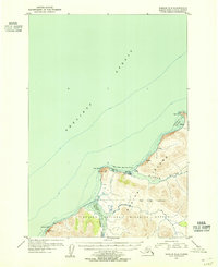
1954 · Karluk C-2
USGS Topo · 1:63,360

1964 · Karluk
USGS Topo · 1:250,000
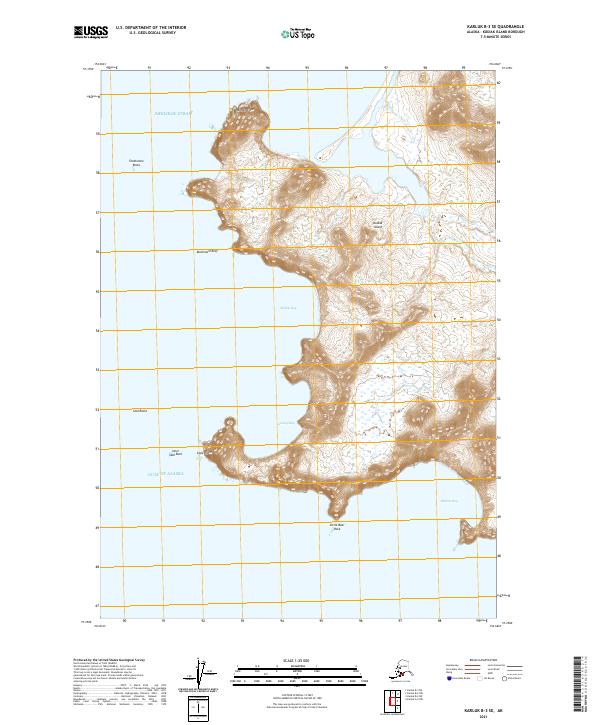
2021 · Karluk B-3 SE
USGS Topo · 1:25,000