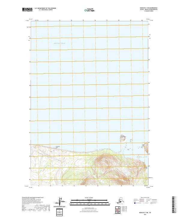
2021 Map of Karluk C-1 NE
USGS Topo · Published 2021About this map
Shelikof Strait dominates the northern expanse of this coastal study, where the waters of the North Pacific meet the northern shores of Kodiak Island. The shoreline is defined by the long stretch of Sevenmile Beach, leading eastward toward the sheltered waters of Uyak Anchorage. This maritime landscape reflects the isolation and topographical complexity of the Alaskan coast, with the small landmass of Bear Island situated just offshore. Inland, the terrain rises sharply from the coast toward the summit at Uyak, showing the steep transition from sea level to the high ridges of the interior. The map captures a largely undeveloped wilderness where the primary features are the named coastal reaches and the natural harbors that have historically provided refuge for vessels navigating the strait.
Find a feature on this map
8 named features on this map. Tap any name to fly to it.
Don’t see what you’re looking for? This feature index may not catch every label — zoom into the map to look around manually.
Map Details
Editions of this 2021 Karluk C-1 NE Map
This is the sole edition of this map. No revisions or reprints were ever made.
Other maps of this area

1951 · Karluk
USGS Topo · 1:250,000

1951 · Kodiak D-6
USGS Topo · 1:63,360

1952 · Kodiak
USGS Topo · 1:250,000

1952 · Karluk
USGS Topo · 1:250,000

1952 · Karluk C-1
USGS Topo · 1:63,360

1952 · Kodiak C-6
USGS Topo · 1:63,360
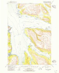
1954 · Kodiak C-6
USGS Topo · 1:63,360
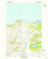
1954 · Karluk C-1
USGS Topo · 1:63,360
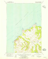
1954 · Kodiak D-6
USGS Topo · 1:63,360

1964 · Karluk
USGS Topo · 1:250,000