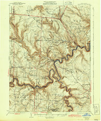
1932 Map of Karthaus
USGS Topo · Published 1943About this map
The West Branch Susquehanna River carves a serpentine path through these Central Pennsylvania hills, defining the landscape and the early routes of commerce. Along its banks and deeply incised tributaries, the New York Central Railroad snakes through the gorge, serving remote stops like Frenchville Sta and the Coleman Siding. This 1929 survey highlights a high density of rural institutions that once anchored these upland plateaus, including a remarkable concentration of one-room schools such as Mignot Sch and German Settlement Sch. In the higher elevations of the north, isolated outposts like the Three Runs Fire Tower and the Apollo Rangers Club stand watch over the forested ridges. The settlement pattern reveals the distinct cultural pockets of the era, from the enclave at Frenchville to the isolated cluster at Rolling Stone.
Find a feature on this map
116 named features on this map. Tap any name to fly to it.
Don’t see what you’re looking for? This feature index may not catch every label — zoom into the map to look around manually.
Map Details
Editions of this 1932 Karthaus Map
3 editions found

Other maps of this area

1903 · Houtzdale
USGS Topo · 1:62,500

1905 · Houtzdale
USGS Topo · 1:62,500

1908 · Bellefonte
USGS Topo · 1:62,500

1909 · Bellefonte
USGS Topo · 1:62,500

1922 · Philipsburg
USGS Topo · 1:62,500

1928 · Snow Shoe
USGS Topo · 1:48,000

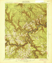
1929 · Karthaus
USGS Topo · 1:62,500

1929 · Clearfield
USGS Topo · 1:48,000

1931 · Show Shoe
USGS Topo · 1:62,500

1932 · Clearfield
USGS Topo · 1:62,500
Featured Places
- Karthaus Township, PA
- Moshannon, PA
- Benezette Township, PA
- Rush Township, PA
- Rolling Stone, Covington Township