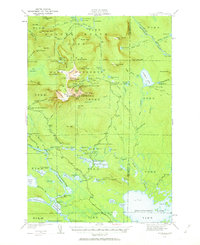
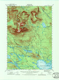
1949 Map of Katahdin
USGS Topo · Published 1963About this map
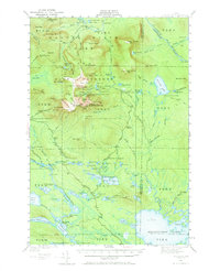
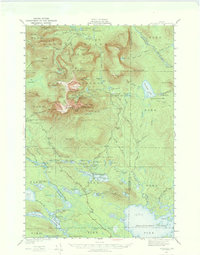
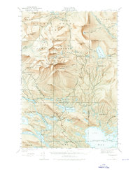
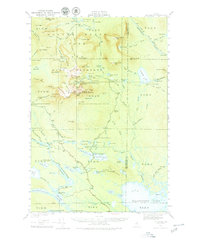
Baxter State Park and the rugged interior of the Game Preserve dominate this 1949 revision of the legendary Maine wilderness. The topographical detail focuses on the massive elevation of Mount Katahdin, including the iconic Knife Edge and the high summit at Baxter Pk. Below the treeline, a network of historic pathways such as the Appalachian Trail, Chimney Trail, and the Saddle Trail connect remote outposts like the Chimney Pond Campground and Russell Pond State Camp. The map documents the intricate hydrography of the region, from the high Lake Cowles and Klondike Pd down to the sprawling Millinocket Lake. The presence of the Tote Road and various campsites like the Abol Campsite reflects the mid-century infrastructure supporting both conservation and backcountry exploration before more modern developments altered these traditional access routes.
Find a feature on this map
144 named features on this map. Tap any name to fly to it.
Don’t see what you’re looking for? This feature index may not catch every label — zoom into the map to look around manually.
Map Details
Editions of this 1949 Katahdin Map
10 editions found
Other maps of this area

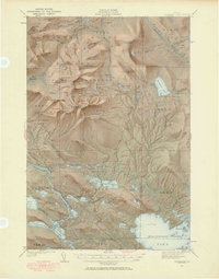
1927 · Katahdin
USGS Topo · 1:48,000

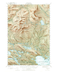
1930 · Katahdin
USGS Topo · 1:62,500

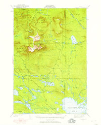
1949 · Katahdin
USGS Topo · 1:62,500

1951 · Norcross
USGS Topo · 1:62,500

1951 · Millinocket
USGS Topo · 1:62,500

1952 · Jo-Mary Mountain
USGS Topo · 1:62,500

1953 · Telos Lake
USGS Topo · 1:62,500

1953 · Stacyville
USGS Topo · 1:62,500

1954 · Harrington Lake
USGS Topo · 1:62,500

1954 · Shin Pond
USGS Topo · 1:62,500