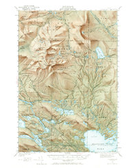
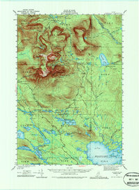
1949 Map of Katahdin
USGS Topo · Published 1967About this map
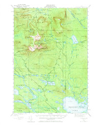
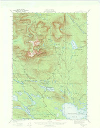
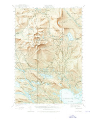
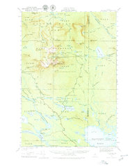
Baxter State Park and the surrounding wilderness of north-central Maine are documented here just after the post-war revision of 1949. This map centers on the massive massif of Mount Katahdin, detailing its legendary peaks like Pamola and South Peak, along with the serrated ridge known as the Knife Edge. The landscape is a network of remote campsites and shelters, including Chimney Pond Campground and Katahdin Stream Campground, which serve as hubs for the burgeoning hiking culture of the era.
Find a feature on this map
157 named features on this map. Tap any name to fly to it.
Don’t see what you’re looking for? This feature index may not catch every label — zoom into the map to look around manually.
Map Details
Editions of this 1949 Katahdin Map
10 editions found
Other maps of this area

1927 · Katahdin
USGS Topo · 1:48,000

1930 · Katahdin
USGS Topo · 1:62,500

1949 · Katahdin
USGS Topo · 1:62,500

1951 · Norcross
USGS Topo · 1:62,500

1951 · Millinocket
USGS Topo · 1:62,500

1952 · Jo-Mary Mountain
USGS Topo · 1:62,500

1953 · Telos Lake
USGS Topo · 1:62,500

1953 · Stacyville
USGS Topo · 1:62,500

1954 · Harrington Lake
USGS Topo · 1:62,500

1954 · Shin Pond
USGS Topo · 1:62,500