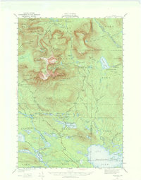
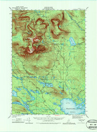
1949 Map of Katahdin
USGS Topo · Published 1974About this map
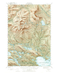
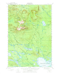
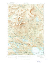
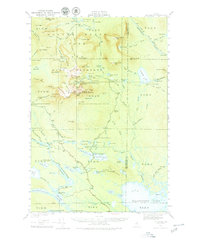
Mount Katahdin dominates this interior landscape, documented here after the establishment of the Baxter State Park and its Game Preserve. The map details the intricate alpine topography of the Great Basin, North Basin, and the dramatic Knife Edge ridge connecting Baxter Pk to Pamola. At this time, the area served as a premier destination for backcountry recreation, shown through a network of trails like the Hunt Trail and Abol Trail, and early wilderness infrastructure including the Chimney Pond Campground and Roaring Brook Campground.
Find a feature on this map
137 named features on this map. Tap any name to fly to it.
Don’t see what you’re looking for? This feature index may not catch every label — zoom into the map to look around manually.
Map Details
Editions of this 1949 Katahdin Map
10 editions found
Other maps of this area

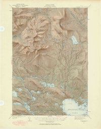
1927 · Katahdin
USGS Topo · 1:48,000

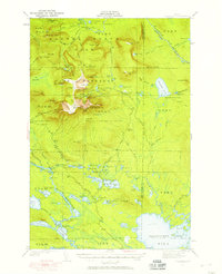
1930 · Katahdin
USGS Topo · 1:62,500

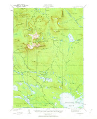
1949 · Katahdin
USGS Topo · 1:62,500

1951 · Norcross
USGS Topo · 1:62,500

1951 · Millinocket
USGS Topo · 1:62,500

1952 · Jo-Mary Mountain
USGS Topo · 1:62,500

1953 · Telos Lake
USGS Topo · 1:62,500

1953 · Stacyville
USGS Topo · 1:62,500

1954 · Harrington Lake
USGS Topo · 1:62,500

1954 · Shin Pond
USGS Topo · 1:62,500