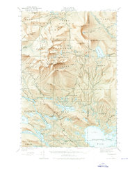
1949 Map of Katahdin
USGS Topo · Published 1974About this map
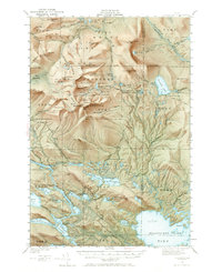
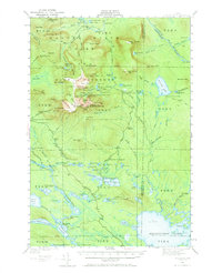
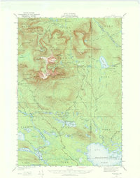
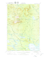
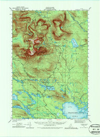
Baxter State Park and its surrounding townships are shown here as they appeared during the mid-twentieth century, dominated by the massive granite massif of Mount Katahdin. The topography reveals a landscape shaped by glacial activity, from the sheer walls of North Basin and Great Basin to the high plateau of the Table Land. Human activity is concentrated along a network of primitive routes like the Tote Road and celebrated footpaths including the Appalachian Trail, which winds through the western portion of the quadrangle. Early wilderness tourism is evidenced by established outposts such as Katahdin Lake Camps and several rustic campgrounds. The map also preserves the nomenclature of the logging era, with locations like New City on Wassataquoik Stream and various camps such as the Joe Francis Camp situated near the Debsconeag Deadwater, reflecting the working history of these woods before they were fully dedicated to conservation.
Find a feature on this map
174 named features on this map. Tap any name to fly to it.
Don’t see what you’re looking for? This feature index may not catch every label — zoom into the map to look around manually.
Map Details
Editions of this 1949 Katahdin Map
10 editions found
Other maps of this area

1927 · Katahdin
USGS Topo · 1:48,000

1930 · Katahdin
USGS Topo · 1:62,500

1949 · Katahdin
USGS Topo · 1:62,500

1951 · Norcross
USGS Topo · 1:62,500

1951 · Millinocket
USGS Topo · 1:62,500

1952 · Jo-Mary Mountain
USGS Topo · 1:62,500

1953 · Telos Lake
USGS Topo · 1:62,500

1953 · Stacyville
USGS Topo · 1:62,500

1954 · Harrington Lake
USGS Topo · 1:62,500

1954 · Shin Pond
USGS Topo · 1:62,500