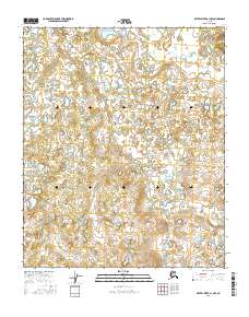
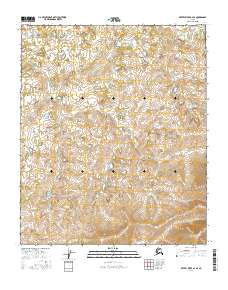
2016 Map of Kateel River A-1 NW
USGS Topo · Published 2016About this map
Nulato Hills topography defines this portion of the Alaskan interior, where a complex network of wetlands and small ponds dominates the landscape. The drainage patterns of the Holtnakatna Cr and the larger Dulbi River reveal a low-lying, hydrologically active environment typical of the Yukon-Koyukuk region. This 2016 survey provides an exceptionally detailed record of the shifting water bodies and fine-grained elevation changes within townships t3s r12e and t4s r12e. The absence of developed roads or named settlements emphasizes the remote nature of this wilderness area, making the map an essential resource for understanding the natural geography of the river corridors as they existed in the early twenty-first century.
Find a feature on this map
8 named features on this map. Tap any name to fly to it.
Don’t see what you’re looking for? This feature index may not catch every label — zoom into the map to look around manually.
Map Details
Editions of this 2016 Kateel River A-1 NW Map
This is the sole edition of this map. No revisions or reprints were ever made.
Other maps of this area

1951 · Kateel River
USGS Topo · 1:250,000

1952 · Kateel River A-2
USGS Topo · 1:63,360

1952 · Kateel River A-1
USGS Topo · 1:63,360

1952 · Kateel River B-1
USGS Topo · 1:63,360

1952 · Kateel River B-2
USGS Topo · 1:63,360

1955 · Kateel River
USGS Topo · 1:250,000
2016 · Kateel River A-1 NE
USGS Topo · 1:25,000
2016 · Kateel River B-1 SW
USGS Topo · 1:25,000
2016 · Kateel River A-1 SE
USGS Topo · 1:25,000
2016 · Kateel River A-2 SE
USGS Topo · 1:25,000