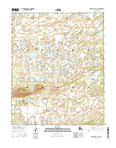
2016 Map of Kateel River C-2 NW
USGS Topo · Published 2016About this map
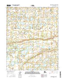
The low-lying interior plains of the Yukon-Koyukuk region define this landscape, where the meandering First Hills Slough snakes through the northern reaches. This 2016 topographic study reveals a complex network of seasonal wetlands and small, unnamed lakes that dominate the terrain within t4n r9e and t4n r10e. In the southwestern corner, the Doolit River cuts across the plains, serving as a primary drainage for the surrounding watershed. The survey captures a moment in the mid-2010s where the land remains largely untracked by modern infrastructure, reflecting the hydrological patterns of the Alaskan wilderness before significant human intervention. Geologists and local historians can use these precise contours to trace the shifting paths of these waterways across the flat, water-bound expanse.
Find a feature on this map
6 named features on this map. Tap any name to fly to it.
Don’t see what you’re looking for? This feature index may not catch every label — zoom into the map to look around manually.
Map Details
Editions of this 2016 Kateel River C-2 NW Map
This is the sole edition of this map. No revisions or reprints were ever made.
Other maps of this area

1951 · Kateel River
USGS Topo · 1:250,000

1954 · Kateel River C-2
USGS Topo · 1:63,360

1954 · Kateel River C-3
USGS Topo · 1:63,360

1954 · Kateel River D-3
USGS Topo · 1:63,360

1955 · Kateel River D-2
USGS Topo · 1:63,360

1955 · Kateel River
USGS Topo · 1:250,000
2016 · Kateel River C-2 SW
USGS Topo · 1:25,000
2016 · Kateel River C-2 SE
USGS Topo · 1:25,000
2016 · Kateel River D-2 SE
USGS Topo · 1:25,000
2016 · Kateel River D-3 SE
USGS Topo · 1:25,000