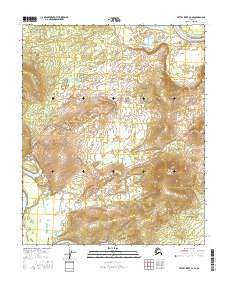
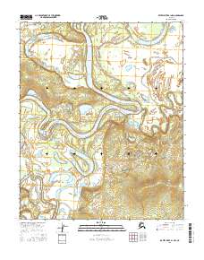
2016 Map of Kateel River C-2 SE
USGS Topo · Published 2016About this map
Roundabout Mtn rises prominently above the interior Alaskan wilderness in this 2016 study of the Yukon-Koyukuk region. The landscape is defined by the winding course of the Koyukuk River as it passes through the northeast corner, feeding into a complex system of drainage and seasonal water bodies. Notable among these are Tsedolalindin Lake and the smaller Duck Lake to the south. The intricate network of Louie Creek (also labeled Louie Cr) illustrates the way water moves across this low-lying terrain before reaching the larger river systems. This map provides a meticulous record of the Public Land Survey System township and range lines, such as t2n r11e, which are essential for identifying specific tracts of land in this vast, largely uninhabited area.
Find a feature on this map
12 named features on this map. Tap any name to fly to it.
Don’t see what you’re looking for? This feature index may not catch every label — zoom into the map to look around manually.
Map Details
Editions of this 2016 Kateel River C-2 SE Map
This is the sole edition of this map. No revisions or reprints were ever made.
Other maps of this area

1951 · Kateel River
USGS Topo · 1:250,000

1952 · Kateel River B-1
USGS Topo · 1:63,360

1952 · Kateel River B-2
USGS Topo · 1:63,360

1954 · Kateel River C-2
USGS Topo · 1:63,360

1954 · Kateel River C-1
USGS Topo · 1:63,360

1955 · Kateel River
USGS Topo · 1:250,000
2016 · Kateel River C-2 SW
USGS Topo · 1:25,000
2016 · Kateel River B-2 NE
USGS Topo · 1:25,000
2016 · Kateel River C-1 SW
USGS Topo · 1:25,000
2016 · Kateel River B-1 NW
USGS Topo · 1:25,000