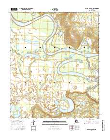
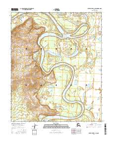
2016 Map of Kateel River B-2 NE
USGS Topo · Published 2016About this map
The Koyukuk River dominates this interior Alaska landscape, winding in broad, rhythmic oxbows across the flat Yukon-Koyukuk basin. The intricate river dynamics of this region are evident in the presence of Tolishden Slough and the nearby Dulbi River, which feeds into the larger system. This environment is defined by its water-rich geography, where the slow-moving currents have carved a complex network of wetlands and seasonal water bodies.
Find a feature on this map
10 named features on this map. Tap any name to fly to it.
Don’t see what you’re looking for? This feature index may not catch every label — zoom into the map to look around manually.
Map Details
Editions of this 2016 Kateel River B-2 NE Map
This is the sole edition of this map. No revisions or reprints were ever made.
Other maps of this area

1951 · Kateel River
USGS Topo · 1:250,000

1952 · Kateel River B-1
USGS Topo · 1:63,360

1952 · Kateel River B-2
USGS Topo · 1:63,360

1954 · Kateel River C-2
USGS Topo · 1:63,360

1954 · Kateel River C-1
USGS Topo · 1:63,360

1955 · Kateel River
USGS Topo · 1:250,000
2016 · Kateel River C-2 SW
USGS Topo · 1:25,000
2016 · Kateel River C-2 SE
USGS Topo · 1:25,000
2016 · Kateel River B-1 SW
USGS Topo · 1:25,000
2016 · Kateel River C-1 SW
USGS Topo · 1:25,000