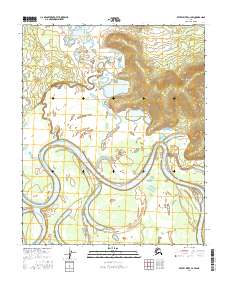
2016 Map of Kateel River C-2 SW
USGS Topo · Published 2016About this map
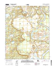
The Koyukuk River dominates this interior landscape, carving a serpentine path through the lowlands of western Alaska. Large meanders and oxbows define the river's course as it flows southward, leaving behind complex wetlands and seasonal ponds. The Dagitli River enters from the north, its smaller channel winding through a series of shallow lakes and marshy terrain before joining the larger waterway.
Find a feature on this map
10 named features on this map. Tap any name to fly to it.
Don’t see what you’re looking for? This feature index may not catch every label — zoom into the map to look around manually.
Map Details
Editions of this 2016 Kateel River C-2 SW Map
This is the sole edition of this map. No revisions or reprints were ever made.
Other maps of this area

1951 · Kateel River
USGS Topo · 1:250,000

1952 · Kateel River B-3
USGS Topo · 1:63,360

1952 · Kateel River B-2
USGS Topo · 1:63,360

1954 · Kateel River C-2
USGS Topo · 1:63,360

1954 · Kateel River C-3
USGS Topo · 1:63,360

1955 · Kateel River
USGS Topo · 1:250,000
2015 · Kateel River B-3 NE
USGS Topo · 1:25,000
2016 · Kateel River C-2 SE
USGS Topo · 1:25,000
2016 · Kateel River B-2 NE
USGS Topo · 1:25,000
2016 · Kateel River C-2 NE
USGS Topo · 1:25,000