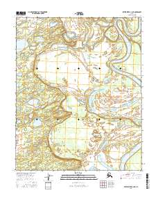
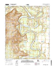
2016 Map of Kateel River C-2 NE
USGS Topo · Published 2016About this map
The Koyukuk River meanders dramatically through this interior landscape, creating a complex network of active channels and abandoned oxbows typical of the region's river systems. The waterway is joined by the Huslia River in the northeast, while the central portion of the map is defined by the winding course of Richards Slough. This slough serves as a secondary waterway connecting the broader river system to interior bodies of water like Moldy Lake. The southern reaches are characterized by low-lying wetlands and seasonal water bodies, including Tsedolalindin Lake. These hydraulic patterns indicate a dynamic environment where the landscape is constantly reshaped by seasonal ice and flood cycles, influencing how people have historically moved through and utilized this remote river corridor.
Find a feature on this map
9 named features on this map. Tap any name to fly to it.
Don’t see what you’re looking for? This feature index may not catch every label — zoom into the map to look around manually.
Map Details
Editions of this 2016 Kateel River C-2 NE Map
This is the sole edition of this map. No revisions or reprints were ever made.
Other maps of this area

1951 · Kateel River
USGS Topo · 1:250,000

1954 · Kateel River C-2
USGS Topo · 1:63,360

1954 · Kateel River C-1
USGS Topo · 1:63,360

1954 · Kateel River D-1
USGS Topo · 1:63,360

1955 · Kateel River D-2
USGS Topo · 1:63,360

1955 · Kateel River
USGS Topo · 1:250,000
2016 · Kateel River C-2 SW
USGS Topo · 1:25,000
2016 · Kateel River C-2 SE
USGS Topo · 1:25,000
2016 · Kateel River D-2 SE
USGS Topo · 1:25,000
2016 · Kateel River C-1 SW
USGS Topo · 1:25,000