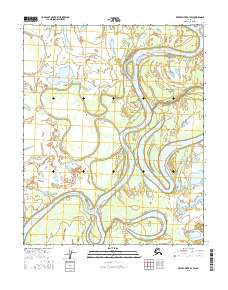
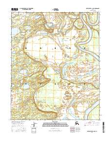
2016 Map of Kateel River D-1 SW
USGS Topo · Published 2016About this map
The Koyukuk River dominates this landscape in the Yukon-Koyukuk region, winding through a complex network of wetlands and secondary waterways. This interior Alaskan environment is defined by its fluid geography, where the main river channel is flanked by significant bypasses such as Happy Slough, Tom Cook Slough, and Huntington Slough. These features indicate a dynamic floodplain where water levels and sediment shifts constantly reshape the land, creating landforms like Young Island. Isolated water bodies including Timber Lake and Whitefish Lake sit within the river's broad loops, marking the locations of former meanders or seasonal overflow basins. This 2016 survey provides a precise record of the river's path and the surrounding aquatic features in a region where road infrastructure is absent, making these waterways the primary arteries for travel and subsistence.
Find a feature on this map
14 named features on this map. Tap any name to fly to it.
Don’t see what you’re looking for? This feature index may not catch every label — zoom into the map to look around manually.
Map Details
Editions of this 2016 Kateel River D-1 SW Map
This is the sole edition of this map. No revisions or reprints were ever made.
Other maps of this area

1951 · Kateel River
USGS Topo · 1:250,000

1954 · Kateel River C-2
USGS Topo · 1:63,360

1954 · Kateel River C-1
USGS Topo · 1:63,360

1954 · Kateel River D-1
USGS Topo · 1:63,360

1955 · Kateel River D-2
USGS Topo · 1:63,360

1955 · Kateel River
USGS Topo · 1:250,000
2016 · Kateel River D-2 SE
USGS Topo · 1:25,000
2016 · Kateel River D-2 NE
USGS Topo · 1:25,000
2016 · Kateel River C-1 NE
USGS Topo · 1:25,000
2016 · Kateel River C-2 NE
USGS Topo · 1:25,000