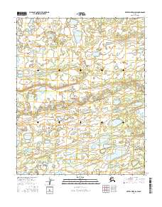
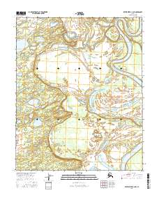
2016 Map of Kateel River D-2 SW
USGS Topo · Published 2016About this map
Nulitna River meanders across this interior landscape, defining a complex hydrologic network of oxbows and secondary channels. The terrain is characterized by a high density of water bodies, including the substantial Moose Lake and Crow Lake, which are situated among a myriad of smaller unnamed ponds and marshes. In the southeastern portion of the quadrangle, First Hills Slough indicates the presence of shifting watercourses and low-lying drainage patterns typical of the region's river systems. This 2016 survey by the U.S. Geological Survey provides a clear record of the area's natural topography, illustrating how the river's movement continues to shape the surrounding wetlands and lake formations.
Find a feature on this map
10 named features on this map. Tap any name to fly to it.
Don’t see what you’re looking for? This feature index may not catch every label — zoom into the map to look around manually.
Map Details
Editions of this 2016 Kateel River D-2 SW Map
This is the sole edition of this map. No revisions or reprints were ever made.
Other maps of this area

1951 · Kateel River
USGS Topo · 1:250,000

1954 · Kateel River C-2
USGS Topo · 1:63,360

1954 · Kateel River C-3
USGS Topo · 1:63,360

1954 · Kateel River D-3
USGS Topo · 1:63,360

1955 · Kateel River D-2
USGS Topo · 1:63,360

1955 · Kateel River
USGS Topo · 1:250,000
2016 · Kateel River D-2 SE
USGS Topo · 1:25,000
2016 · Kateel River D-2 NE
USGS Topo · 1:25,000
2016 · Kateel River D-3 SE
USGS Topo · 1:25,000
2016 · Kateel River C-2 NE
USGS Topo · 1:25,000