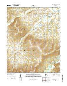
2015 Map of Kateel River D-5 SE
USGS Topo · Published 2015About this map
The S Fork Huslia River meanders across the southeastern corner of this remote Alaskan interior landscape, providing the primary hydrological landmark for the region. This 2015 survey reveals an environment defined by extreme relief, where steep ridges rise from the river valley into the high elevations of the surrounding townships. The intricate contour lines demonstrate the transition from the low-lying river drainage to the prominent upland summits, illustrating a wilderness area largely untouched by modern infrastructure or permanent settlements. The map highlights the intersection of several township boundaries, including T5n R3e and T5n R4e, which serve as the primary organizational framework for this portion of the Yukon-Koyukuk region. Researchers can observe the natural drainage patterns that feed into the Huslia system, reflecting the untouched geography of the Alaska interior in the early 21st century.
Find a feature on this map
7 named features on this map. Tap any name to fly to it.
Don’t see what you’re looking for? This feature index may not catch every label — zoom into the map to look around manually.
Map Details
Editions of this 2015 Kateel River D-5 SE Map
This is the sole edition of this map. No revisions or reprints were ever made.
Other maps of this area

1951 · Kateel River
USGS Topo · 1:250,000

1954 · Kateel River C-4
USGS Topo · 1:63,360

1954 · Kateel River D-4
USGS Topo · 1:63,360

1954 · Kateel River D-5
USGS Topo · 1:63,360
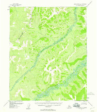
1955 · Kateel River C-5
USGS Topo · 1:63,360

1955 · Kateel River
USGS Topo · 1:250,000
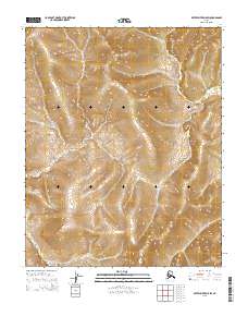
2015 · Kateel River D-5 SW
USGS Topo · 1:25,000
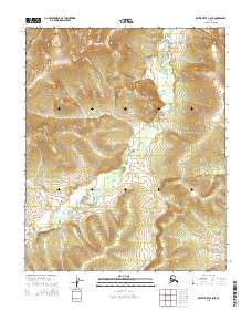
2015 · Kateel River C-5 NE
USGS Topo · 1:25,000
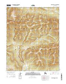
2015 · Kateel River C-4 NW
USGS Topo · 1:25,000
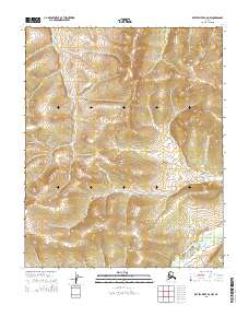
2015 · Kateel River C-5 NW
USGS Topo · 1:25,000