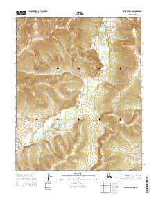
2015 Map of Kateel River C-5 NE
USGS Topo · Published 2015About this map
The S Fork Huslia River meanders through this section of the interior, creating a complex network of wetlands and oxbows within the Kateel River basin. This 2015 survey illustrates the undisturbed drainage patterns and significant elevation changes across the township boundaries of T4n R3e, T4n R4e, T3n R3e, and T3n R4e. The terrain is defined by the hydrologic movement of the south fork, which transitions from high-relief slopes into the broad, water-carved lowlands of the river valley. Because the area lacks named roads or settlements on this sheet, the map serves as a primary record of the natural topography and the specific hydrographic data of the Yukon-Koyukuk region. Researchers can examine the precise contour intervals that define the ridges overlooking the river’s path, providing a clear view of the land's physical character in the early 21st century.
Find a feature on this map
5 named features on this map. Tap any name to fly to it.
Don’t see what you’re looking for? This feature index may not catch every label — zoom into the map to look around manually.
Map Details
Editions of this 2015 Kateel River C-5 NE Map
This is the sole edition of this map. No revisions or reprints were ever made.
Other maps of this area

1951 · Kateel River
USGS Topo · 1:250,000

1954 · Kateel River C-4
USGS Topo · 1:63,360

1954 · Kateel River D-4
USGS Topo · 1:63,360

1954 · Kateel River D-5
USGS Topo · 1:63,360
1955 · Kateel River C-5
USGS Topo · 1:63,360

1955 · Kateel River
USGS Topo · 1:250,000
2015 · Kateel River D-5 SE
USGS Topo · 1:25,000
2015 · Kateel River C-5 SE
USGS Topo · 1:25,000
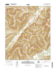
2015 · Kateel River C-5 SW
USGS Topo · 1:25,000
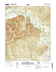
2015 · Kateel River C-4 SW
USGS Topo · 1:25,000