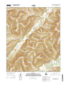
2015 Map of Kateel River C-5 SW
USGS Topo · Published 2015About this map
The S Fork Huslia River meanders across the interior Alaskan landscape in this 2015 survey, its winding course defining the drainages of the Yukon-Koyukuk region. In the southeastern portion of the quadrangle, the Kateel River creates a network of low-lying wetlands and oxbows, illustrating the complex hydrology of the northern wilderness. This map documents the remote terrain within several townships, including t3n r2e and t2n r3e, where the lack of roads or human structures emphasizes the isolation of the subarctic environment. The detailed contour intervals capture the subtle elevation changes that guide these arctic waterways through the vast river valleys.
Find a feature on this map
8 named features on this map. Tap any name to fly to it.
Don’t see what you’re looking for? This feature index may not catch every label — zoom into the map to look around manually.
Map Details
Editions of this 2015 Kateel River C-5 SW Map
This is the sole edition of this map. No revisions or reprints were ever made.
Other maps of this area

1951 · Kateel River
USGS Topo · 1:250,000

1954 · Kateel River B-5
USGS Topo · 1:63,360

1954 · Kateel River C-6
USGS Topo · 1:63,360

1955 · Kateel River B-5
USGS Topo · 1:63,360
1955 · Kateel River B-6
USGS Topo · 1:63,360
1955 · Kateel River C-5
USGS Topo · 1:63,360

1955 · Kateel River
USGS Topo · 1:250,000
2015 · Kateel River C-5 SE
USGS Topo · 1:25,000
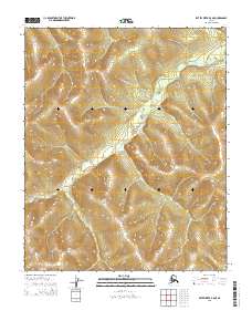
2015 · Kateel River B-5 NE
USGS Topo · 1:25,000
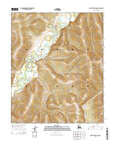
2015 · Kateel River B-5 NW
USGS Topo · 1:25,000