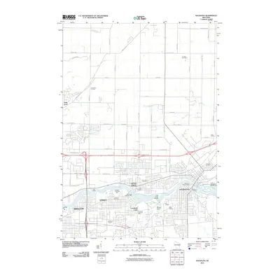
2010 Map of Kaukauna
USGS Topo · Published 2010About this map
The Fox River serves as the industrial and civic spine for this Fox River Valley corridor, where the settlements of Appleton, Kimberly, Little Chute, and Kaukauna cluster along the water's edge. This 2010 survey details an extensive network of 19th-century water management infrastructure, including the Kimberly Laws1848 Dam and the Kaukauna 1856c112 Dam, illustrating the long-standing reliance on the river for power and navigation. The transition from industrial waterfronts to residential grids and outlying agricultural land is sharp, particularly near Combined Locks.
Find a feature on this map
74 named features on this map. Tap any name to fly to it.
Don’t see what you’re looking for? This feature index may not catch every label — zoom into the map to look around manually.
Map Details
Editions of this 2010 Kaukauna Map
This is the sole edition of this map. No revisions or reprints were ever made.
Other maps of this area

1911 · Neenah
USGS Topo · 1:62,500

1954 · De Pere
USGS Topo · 1:62,500

1954 · Chilton
USGS Topo · 1:62,500

1955 · Neenah
USGS Topo · 1:62,500

1955 · Appleton
USGS Topo · 1:24,000

1955 · Appleton
USGS Topo · 1:62,500

1955 · Neenah
USGS Topo · 1:24,000

1955 · Green Bay
USGS Topo · 1:250,000

1974 · Hilbert
USGS Topo · 1:24,000

1974 · Kaukauna
USGS Topo · 1:24,000