
1960 Map of Kawishiwi Lake
USGS Topo · Published 1962About this map
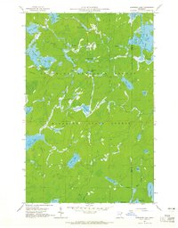
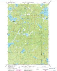
Kawishiwi Lake and the dense water networks of the Superior National Forest define this 1960 landscape along the border of Lake and Cook counties. This area, managed in part within the Minnesota State Forest system, shows a labyrinthine glacial geography where lakes are linked by short, narrow channels and named creeks. The survey captures the primitive recreation infrastructure of the era at the Kawishiwi Lake Campground, situated near the western edge of the sheet. The drainage pattern is exceptionally detailed, following the paths of Bill Creek, Hog Creek, and Walter Creek through a series of interconnected basins including Phoebe Lake, Knight Lake, and Coffee Lake. Depth curves for these water bodies were integrated from Minnesota Department of Conservation charts, providing a precise look at the underwater topography of this northern lake country.
Find a feature on this map
35 named features on this map. Tap any name to fly to it.
Don’t see what you’re looking for? This feature index may not catch every label — zoom into the map to look around manually.
Map Details
Editions of this 1960 Kawishiwi Lake Map
3 editions found
Other maps of this area

1954 · Two Harbors
USGS Topo · 1:250,000

1955 · Tofte
USGS Topo · 1:62,500

1955 · Cramer
USGS Topo · 1:62,500

1957 · Two Harbors
USGS Topo · 1:250,000

1958 · Two Harbors
USGS Topo · 1:250,000

1960 · Lake Polly
USGS Topo · 1:24,000

1960 · Perent Lake
USGS Topo · 1:24,000

1960 · Beth Lake
USGS Topo · 1:24,000
1960 · Kelso Mountain
USGS Topo · 1:24,000

1960 · Alice Lake
USGS Topo · 1:24,000