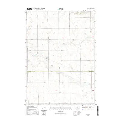
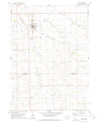
2015 Map of Kaylor
USGS Topo · Published 2015About this map
Kaylor serves as the central hub of this agrarian landscape on the border of Hutchinson and Bon Homme counties. The settlement is positioned along a grid of section-line roads, such as 290th St and 418th Ave, which define the region's orderly development. The surrounding countryside is marked by several small family or community burial grounds, including Dennewitz Cem, Siamental Cem, and Saint Johns Cem, providing essential points of interest for genealogists tracing local heritage. Natural drainage is dictated by the winding paths of Dawson Cr and S Br Lonetree Cr, which cut through the rectilinear farm plots. The map reflects a modern rural environment where the late-twentieth-century road network facilitates travel between the dispersed farmsteads of South Dakota's interior plains.
Find a feature on this map
28 named features on this map. Tap any name to fly to it.
Don’t see what you’re looking for? This feature index may not catch every label — zoom into the map to look around manually.
Map Details
Editions of this 2015 Kaylor Map
This is the sole edition of this map. No revisions or reprints were ever made.
Other maps of this area

1898 · Olivet
USGS Topo · 1:125,000

1955 · Sioux Falls
USGS Topo · 1:250,000

1957 · Tschetter Colony
USGS Topo · 1:24,000

1957 · Scotland
USGS Topo · 1:24,000

1958 · Sioux Falls
USGS Topo · 1:250,000

1978 · Tripp SE
USGS Topo · 1:24,000
1978 · Kloucek Lake
USGS Topo · 1:24,000
1978 · Haucks Lake
USGS Topo · 1:24,000
1978 · Kaylor
USGS Topo · 1:24,000
1978 · Tripp
USGS Topo · 1:24,000