
1896 Map of Kearney
USGS Topo · Published 1896About this map
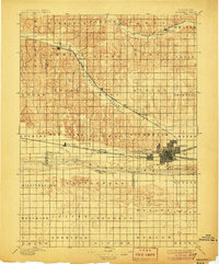
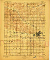
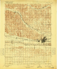
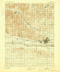
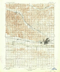
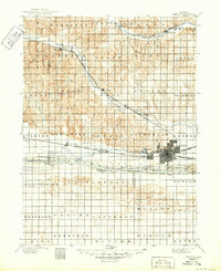
Kearney stands as a bustling railway hub in the late nineteenth century, where the Union Pacific R. R. Main Line meets the Burlington and Missouri River R. R. Kearney Branch. This survey illustrates a complex water management and transportation landscape, featuring the Kearney Canal and the braided channels of the Platte River. The map details numerous islands within the riverbed, including Black Island, Evarts Island, and Governor Id., reflecting the seasonal shifts of the Platte's flow.
Find a feature on this map
57 named features on this map. Tap any name to fly to it.
Don’t see what you’re looking for? This feature index may not catch every label — zoom into the map to look around manually.
Map Details
Editions of this 1896 Kearney Map
7 editions found
Other maps of this area

1894 · Kearney
USGS Topo · 1:62,500

1894 · Minden
USGS Topo · 1:62,500

1896 · Lexington
USGS Topo · 1:125,000

1896 · Holdrege
USGS Topo · 1:125,000

1896 · Arapahoe
USGS Topo · 1:125,000

1896 · Wood River
USGS Topo · 1:125,000

1897 · Red Cloud
USGS Topo · 1:125,000

1898 · Arapahoe
USGS Topo · 1:125,000

1899 · Lexington
USGS Topo · 1:125,000

1899 · Loup
USGS Topo · 1:125,000