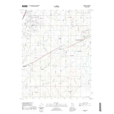
2017 Map of Kearney
USGS Topo · Published 2017About this map
Kearney and the surrounding Clay County countryside are defined by a complex network of small cemeteries and winding watercourses such as the Fishing River and Clear Cr. This 2017 survey shows the suburban expansion of Liberty and Excelsior Springs encroaching upon older rural landscapes where sites like Bethel Presbyterian Cem and Mount Olive Cem preserve the region's genealogy. The presence of the Midwest National Air Center signals modern transit infrastructure, while smaller communities like Stockdale, Mosby, and Prathersville maintain their distinct identities along the Holmes Cr and Crockett Cr drainage basins. The map captures a landscape in transition, where legacy family burial grounds like Munkirs Cem and Baldwin Cem sit adjacent to developing residential corridors and industrial hubs.
Find a feature on this map
90 named features on this map. Tap any name to fly to it.
Don’t see what you’re looking for? This feature index may not catch every label — zoom into the map to look around manually.
Map Details
Editions of this 2017 Kearney Map
This is the sole edition of this map. No revisions or reprints were ever made.
Other maps of this area

1894 · Independence
USGS Topo · 1:125,000

1935 · Buckner
USGS Topo · 1:24,000

1935 · Missouri City
USGS Topo · 1:24,000

1935 · Liberty
USGS Topo · 1:24,000

1936 · Kearney
USGS Topo · 1:48,000

1940 · Liberty
USGS Topo · 1:31,680

1942 · Kearney
USGS Topo · 1:62,500

1945 · Kearney
USGS Topo · 1:62,500
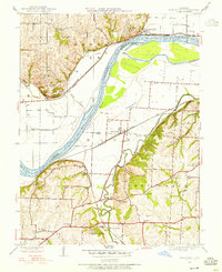
1945 · Missouri City
USGS Topo · 1:24,000
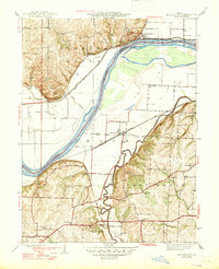
1947 · Missouri City
USGS Topo · 1:31,680