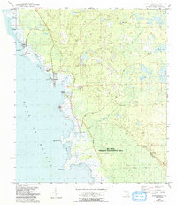
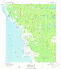
1954 Map of Keaton Beach
USGS Topo · Published 1993About this map
Keaton Beach and Dekle Beach serve as the primary coastal settlements along this stretch of the Gulf of Mexico, where a complex network of marshes and tidal creeks meets the open water. The landscape is defined by its transition from the swampy interior—notably the Big Bend Wildlife Management Area—to the numerous islands and points that dot the shoreline, such as Jug Island, Dark Island, and Sponge Point.
Find a feature on this map
32 named features on this map. Tap any name to fly to it.
Don’t see what you’re looking for? This feature index may not catch every label — zoom into the map to look around manually.
Map Details
Editions of this 1954 Keaton Beach Map
3 editions found
Other maps of this area

1954 · Salem SW
USGS Topo · 1:24,000

1954 · Warrior Swamp
USGS Topo · 1:24,000

1954 · Salem
USGS Topo · 1:24,000

1954 · Steinhatchee
USGS Topo · 1:24,000

1954 · Keaton Beach
USGS Topo · 1:24,000

1954 · Okefenokee Slough
USGS Topo · 1:24,000

1954 · Crooked Point
USGS Topo · 1:24,000

1954 · Gainesville
USGS Topo · 1:250,000

1958 · Gainesville
USGS Topo · 1:250,000

1959 · Gainesville
USGS Topo · 1:250,000