
1962 Map of Kedron
USGS Topo · Published 1963About this map
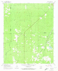
Kedron and the surrounding timberlands of Cleveland and Jefferson Counties appear here during the early 1960s, a period defined by rural township life and a landscape heavily shaped by its waterways. The St Louis Southwestern RR railroad cuts diagonally across the eastern terrain, serving as a vital corridor for the region's economy. The topography is defined by the winding paths of Big Creek and Derrieusseaux Creek, which drain the low-lying basins of the White Oak and Spring townships.
Find a feature on this map
24 named features on this map. Tap any name to fly to it.
Don’t see what you’re looking for? This feature index may not catch every label — zoom into the map to look around manually.
Map Details
Editions of this 1962 Kedron Map
3 editions found
Other maps of this area

1953 · El Dorado
USGS Topo · 1:250,000

1955 · Little Rock
USGS Topo · 1:250,000

1956 · Little Rock
USGS Topo · 1:250,000

1957 · El Dorado
USGS Topo · 1:250,000

1958 · El Dorado
USGS Topo · 1:250,000

1960 · El Dorado
USGS Topo · 1:250,000

1960 · Little Rock
USGS Topo · 1:250,000

1962 · Pine Bluff
USGS Topo · 1:24,000

1962 · Faith
USGS Topo · 1:24,000

1962 · Pine Bluff NW
USGS Topo · 1:24,000