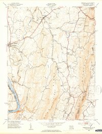
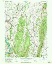
1953 Map of Keedysville
USGS Topo · Published 1954About this map
The Antietam Battlefield and the Antietam National Cemetery dominate the western portion of this 1953 landscape, providing a detailed look at the memorialized grounds near Sharpsburg. The map traces the winding course of Antietam Creek as it flows toward the Potomac River, passing historic crossings such as Burnside Bridge and Porterstown Bridge. This post-war survey highlights a region defined by its Civil War heritage and its mid-century rural character, from the Crystal Grottoes in the north to the small settlements of Rohrersville and Brownsville along the Baltimore and Ohio railroad line.
Find a feature on this map
56 named features on this map. Tap any name to fly to it.
Don’t see what you’re looking for? This feature index may not catch every label — zoom into the map to look around manually.
Map Details
Editions of this 1953 Keedysville Map
5 editions found
Other maps of this area

1884 · Harpers Ferry
USGS Topo · 1:125,000

1891 · Harpers Ferry
USGS Topo · 1:125,000

1893 · Harpers Ferry
USGS Topo · 1:125,000

1908 · Middletown
USGS Topo · 1:48,000

1909 · Hagerstown
USGS Topo · 1:48,000

1910 · Antietam
USGS Topo · 1:62,500

1912 · Hagerstown
USGS Topo · 1:62,500

1912 · Williamsport
USGS Topo · 1:62,500

1914 · Martinsburg
USGS Topo · 1:48,000

1916 · Martinsburg
USGS Topo · 1:62,500