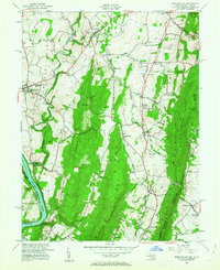
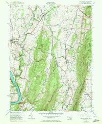
1953 Map of Keedysville
USGS Topo · Published 1963About this map
Antietam Battlefield and the surrounding valley represent a landscape deeply marked by history and rugged geography. This 1953 culture revision captures the mid-century layout of historic towns like Sharpsburg and Keedysville, anchored by the Antietam National Cemetery. The terrain is defined by the parallel ridges of Elk Ridge and South Mountain, the latter of which is traversed by the Appalachian Trail.
Find a feature on this map
48 named features on this map. Tap any name to fly to it.
Don’t see what you’re looking for? This feature index may not catch every label — zoom into the map to look around manually.
Map Details
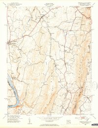
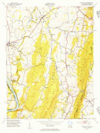
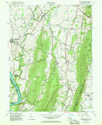
Editions of this 1953 Keedysville Map
5 editions found
Other maps of this area

1884 · Harpers Ferry
USGS Topo · 1:125,000

1891 · Harpers Ferry
USGS Topo · 1:125,000

1893 · Harpers Ferry
USGS Topo · 1:125,000

1908 · Middletown
USGS Topo · 1:48,000

1909 · Hagerstown
USGS Topo · 1:48,000

1910 · Antietam
USGS Topo · 1:62,500

1912 · Hagerstown
USGS Topo · 1:62,500

1912 · Williamsport
USGS Topo · 1:62,500

1914 · Martinsburg
USGS Topo · 1:48,000

1916 · Martinsburg
USGS Topo · 1:62,500