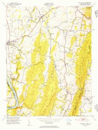
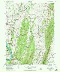
1953 Map of Keedysville
USGS Topo · Published 1954About this map
Antietam National Battlefield occupies the western portion of this 1950s survey, marking the landscape where American history was fundamentally altered. This edition captures the topography of the Civil War site before modern development, detailing the Burnside Bridge and Hawkins Monument alongside the solemn Antietam National Cemetery. The terrain is dominated by the parallel rises of Elk Ridge and South Mountain, with the Appalachian Trail following the latter's crest through Washington Monument State Park and Gathland State Park.
Find a feature on this map
59 named features on this map. Tap any name to fly to it.
Don’t see what you’re looking for? This feature index may not catch every label — zoom into the map to look around manually.
Map Details
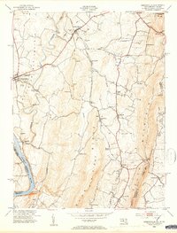
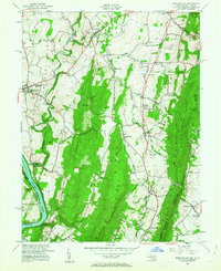
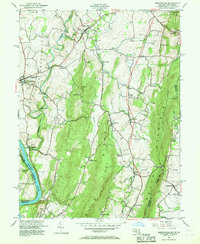
Editions of this 1953 Keedysville Map
5 editions found
Other maps of this area

1884 · Harpers Ferry
USGS Topo · 1:125,000

1891 · Harpers Ferry
USGS Topo · 1:125,000

1893 · Harpers Ferry
USGS Topo · 1:125,000

1908 · Middletown
USGS Topo · 1:48,000

1909 · Hagerstown
USGS Topo · 1:48,000

1910 · Antietam
USGS Topo · 1:62,500

1912 · Hagerstown
USGS Topo · 1:62,500

1912 · Williamsport
USGS Topo · 1:62,500

1914 · Martinsburg
USGS Topo · 1:48,000

1916 · Martinsburg
USGS Topo · 1:62,500