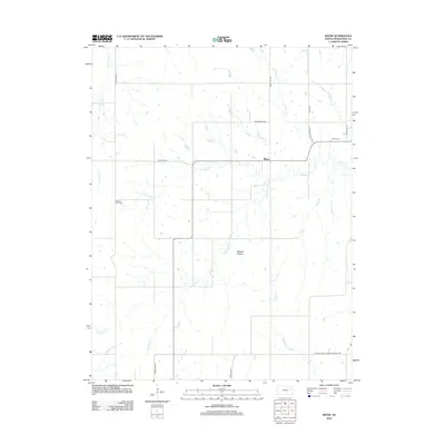
2012 Map of Keene
USGS Topo · Published 2012About this map
The small settlement of Keene sits at a rural crossroads in eastern Kansas, surrounded by a dense network of creek branches that feed into the larger regional basins. This Wabaunsee County landscape is defined by its water systems, including Snokomo Cr and the multiple forks of Mission Creek. Genealogists and local historians will find the Keene Cem and Mission View Cem established near these watercourses, serving as primary records of the area's early residents.
Find a feature on this map
26 named features on this map. Tap any name to fly to it.
Don’t see what you’re looking for? This feature index may not catch every label — zoom into the map to look around manually.
Map Details
Editions of this 2012 Keene Map
This is the sole edition of this map. No revisions or reprints were ever made.
Other maps of this area

1885 · Eskridge
USGS Topo · 1:125,000

1889 · Burlingame
USGS Topo · 1:125,000

1889 · Wamego
USGS Topo · 1:125,000

1889 · Eskridge
USGS Topo · 1:125,000

1889 · Topeka
USGS Topo · 1:125,000

1894 · Eskridge
USGS Topo · 1:125,000

1894 · Burlingame
USGS Topo · 1:125,000

1894 · Topeka
USGS Topo · 1:125,000

1894 · Wamego
USGS Topo · 1:125,000

1947 · Lawrence
USGS Topo · 1:250,000