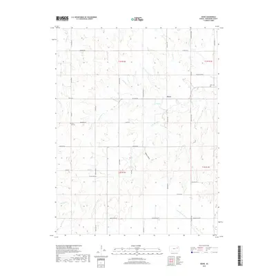
2018 Map of Keene
USGS Topo · Published 2018About this map
Keene sits at the heart of this Wabaunsee County landscape, where the prairie is defined by a dense network of creek branches and rural routes. The drainage patterns are particularly intricate here, with the N Br Mission Cr and S Br Mission Cr converging toward Mission Cr in the east, while the S Br Wakarusa River flows through the southern reaches. For those tracing local history or family lineage, the Keene Cem and Mission View Cem provide specific points of interest within the township structure.
Find a feature on this map
43 named features on this map. Tap any name to fly to it.
Don’t see what you’re looking for? This feature index may not catch every label — zoom into the map to look around manually.
Map Details
Editions of this 2018 Keene Map
This is the sole edition of this map. No revisions or reprints were ever made.
Other maps of this area

1885 · Eskridge
USGS Topo · 1:125,000

1889 · Burlingame
USGS Topo · 1:125,000

1889 · Wamego
USGS Topo · 1:125,000

1889 · Eskridge
USGS Topo · 1:125,000

1889 · Topeka
USGS Topo · 1:125,000

1894 · Eskridge
USGS Topo · 1:125,000

1894 · Burlingame
USGS Topo · 1:125,000

1894 · Topeka
USGS Topo · 1:125,000

1894 · Wamego
USGS Topo · 1:125,000

1947 · Lawrence
USGS Topo · 1:250,000