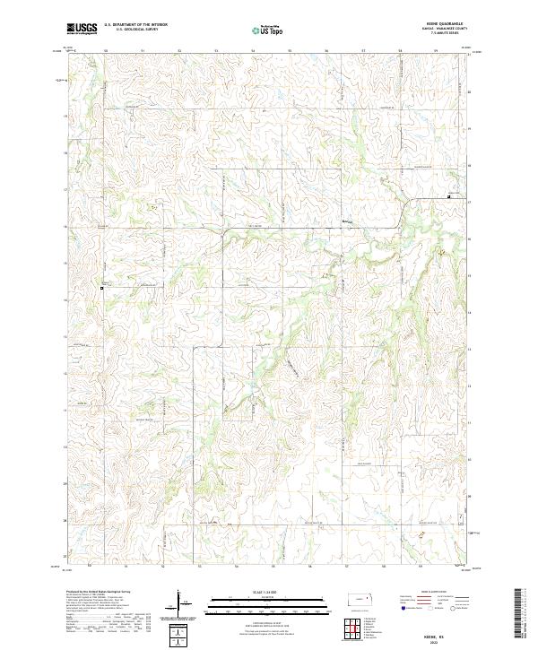
2022 Map of Keene
USGS Topo · Published 2022About this map
The unincorporated community of Keene serves as the focal point of this Kansas landscape, where the prairie is dissected by an intricate network of creeks and named drainages. Located in Wabaunsee County, the terrain is defined by the headwaters and branches of Mission Cr and the S Br Wakarusa River. Local genealogy is anchored by the Keene Cem and Mission View Cem, which sit among a grid of section-line roads with evocative names like Military Trail Rd and Missile Base Rd. The presence of Wildcat Hollow and numerous watercourses like Snokomo Cr and Nehring Cr illustrates the typical Flint Hills transition, where upland grazing land meets the fertile, timbered bottoms of the creek valleys.
Find a feature on this map
45 named features on this map. Tap any name to fly to it.
Don’t see what you’re looking for? This feature index may not catch every label — zoom into the map to look around manually.
Map Details
Editions of this 2022 Keene Map
This is the sole edition of this map. No revisions or reprints were ever made.
Other maps of this area

1885 · Eskridge
USGS Topo · 1:125,000

1889 · Burlingame
USGS Topo · 1:125,000

1889 · Wamego
USGS Topo · 1:125,000

1889 · Eskridge
USGS Topo · 1:125,000

1889 · Topeka
USGS Topo · 1:125,000

1894 · Eskridge
USGS Topo · 1:125,000

1894 · Burlingame
USGS Topo · 1:125,000

1894 · Topeka
USGS Topo · 1:125,000

1894 · Wamego
USGS Topo · 1:125,000

1947 · Lawrence
USGS Topo · 1:250,000