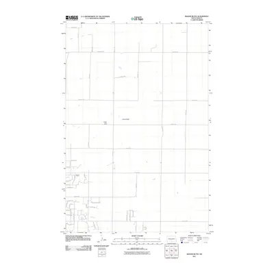
2011 Map of Keever Butte
USGS Topo · Published 2011About this map
Keever Butte rises as the central landmark of this rural North Dakota landscape, situated within a sparse grid of section lines and gravel roads. In the early 21st century, the area maintained a distinctly pastoral character, dominated by large-scale ranching operations such as the Flying D Paint Ranch and the Diamond R Ranch. These named properties, alongside a network of local roads like 175th Ave NE and 84th Ave NE, reveal the enduring structure of the Great Plains homestead system. The map also traces the winding course of Hay Creek, which provides a natural break in the geometric road layout. To the southwest, a pocket of modern residential development emerges through clusters of smaller streets like Clover Ln and Moonstone Ln, indicating a gradual shift in land use on the outskirts of the larger regional hubs.
Find a feature on this map
48 named features on this map. Tap any name to fly to it.
Don’t see what you’re looking for? This feature index may not catch every label — zoom into the map to look around manually.
Map Details
Editions of this 2011 Keever Butte Map
This is the sole edition of this map. No revisions or reprints were ever made.
Other maps of this area

1907 · Bismarck
USGS Topo · 1:125,000

1950 · Wilton
USGS Topo · 1:62,500

1950 · Bismarck
USGS Topo · 1:24,000

1951 · Menoken SW
USGS Topo · 1:24,000

1951 · Bismarck
USGS Topo · 1:62,500

1951 · Menoken
USGS Topo · 1:62,500

1954 · Bismarck
USGS Topo · 1:250,000

1954 · McClusky
USGS Topo · 1:250,000

1958 · Bismarck
USGS Topo · 1:250,000

1958 · McClusky
USGS Topo · 1:250,000