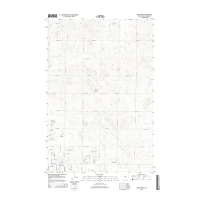
2014 Map of Keever Butte
USGS Topo · Published 2014About this map
Arnold sits at the southwestern edge of this North Dakota landscape, marking a point of residential expansion where suburban street names like Kristen Ln and Kent Dr meet the traditional section-line road grid. The terrain is defined by the prominent elevation of Keever Butte, which rises above the surrounding plains north of the Hay Cr drainage. This early 21st-century survey captures a period of transition in Burleigh County, as the rural character of the northern plains integrates with modern developments such as Dakota Country Dr and Country Creek Dr. The map provides a detailed view of the local topography and the structured road network, ranging from primary avenues like 123rd Ave NE to specialized residential loops such as Crescent Ridge Rd.
Find a feature on this map
56 named features on this map. Tap any name to fly to it.
Don’t see what you’re looking for? This feature index may not catch every label — zoom into the map to look around manually.
Map Details
Editions of this 2014 Keever Butte Map
This is the sole edition of this map. No revisions or reprints were ever made.
Other maps of this area

1907 · Bismarck
USGS Topo · 1:125,000

1950 · Wilton
USGS Topo · 1:62,500

1950 · Bismarck
USGS Topo · 1:24,000

1951 · Menoken SW
USGS Topo · 1:24,000

1951 · Bismarck
USGS Topo · 1:62,500

1951 · Menoken
USGS Topo · 1:62,500

1954 · Bismarck
USGS Topo · 1:250,000

1954 · McClusky
USGS Topo · 1:250,000

1958 · Bismarck
USGS Topo · 1:250,000

1958 · McClusky
USGS Topo · 1:250,000