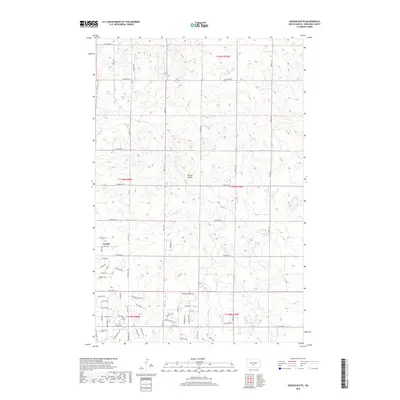
2018 Map of Keever Butte
USGS Topo · Published 2018About this map
Keever Butte stands as a prominent landmark in this 2018 survey of rural Burleigh County, where the sprawling plains of North Dakota meet growing residential pockets. The settlement of Arnold anchors the southwestern portion of the sheet, characterized by a concentration of residential streets such as Kristen Ln, Kelly Dr, and Dublin Dr. This area represents a transition from traditional agricultural sections to suburban development north of Bismarck. The landscape is defined by the drainage of Hay Cr and a systematic grid of section-line roads, including 175th Ave NE and 123rd Ave NE, which organize the undulating terrain. Genealogists and local researchers can trace modern land divisions and property access through the dense network of named lanes like Hightop Ln and Moonstone Ln.
Find a feature on this map
59 named features on this map. Tap any name to fly to it.
Don’t see what you’re looking for? This feature index may not catch every label — zoom into the map to look around manually.
Map Details
Editions of this 2018 Keever Butte Map
This is the sole edition of this map. No revisions or reprints were ever made.
Other maps of this area

1907 · Bismarck
USGS Topo · 1:125,000

1950 · Wilton
USGS Topo · 1:62,500

1950 · Bismarck
USGS Topo · 1:24,000

1951 · Menoken SW
USGS Topo · 1:24,000

1951 · Bismarck
USGS Topo · 1:62,500

1951 · Menoken
USGS Topo · 1:62,500

1954 · Bismarck
USGS Topo · 1:250,000

1954 · McClusky
USGS Topo · 1:250,000

1958 · Bismarck
USGS Topo · 1:250,000

1958 · McClusky
USGS Topo · 1:250,000